01865-203139 [email protected]
  • Facebook
  • Twitter
  • Facebook
  • Twitter
Old Marston Parish Council
  • Home
  • About Us
    • Allotments
    • Cemetery
    • Committees
    • Councillors
    • OxClean
    • Pavilion
    • Projects and Issues
    • Recreational Grounds
    • Responsibilities
  • Documents
    • Agenda
    • Environment Committee
    • Finance Committee
    • Minutes
    • Pavilion, Recreation Grounds and Cemetery Committee
    • Planning Committee
    • Policies and Procedures
    • Public Meetings
    • Various Documents
  • Accounts
  • Local
    • Businesses
    • Conservation Area
    • Old Marston Charities Trust
    • Organisations
    • Planning
    • Swan School
    • Venues
  • Archives
    • Timeline
    • Maps
    • Street Names
    • Geography
    • Early History
    • Medieval
    • 1500s
    • 1600s
    • 1700s
    • 1800s
    • 1900s
    • Church
    • School
    • Archive Documents
  • Pictures
Select Page

Maps

Below is a collection of various maps going back several centuries. Click on picture to enlarge. At the bottom are links to more map files. If you would like a copy of a map then please contact the clerk.
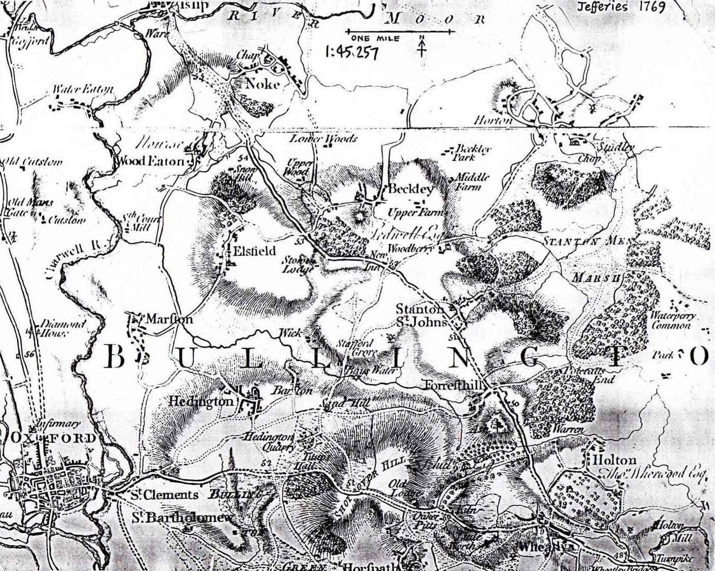
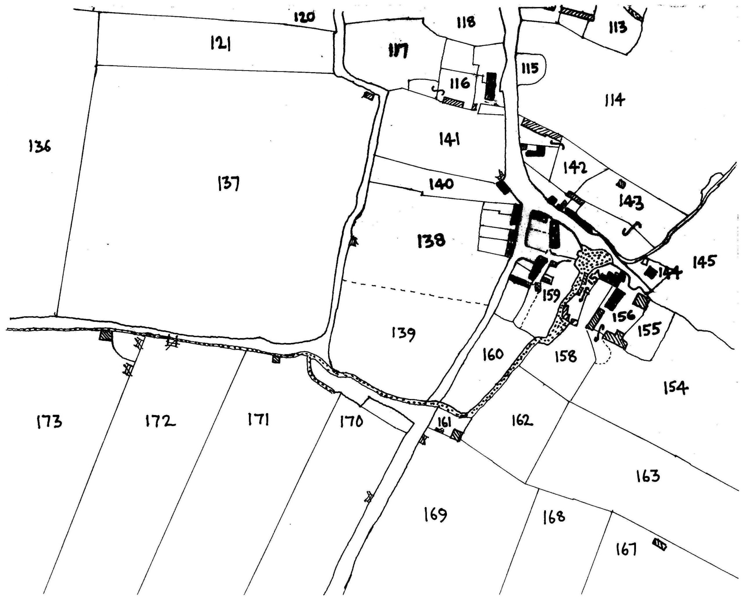
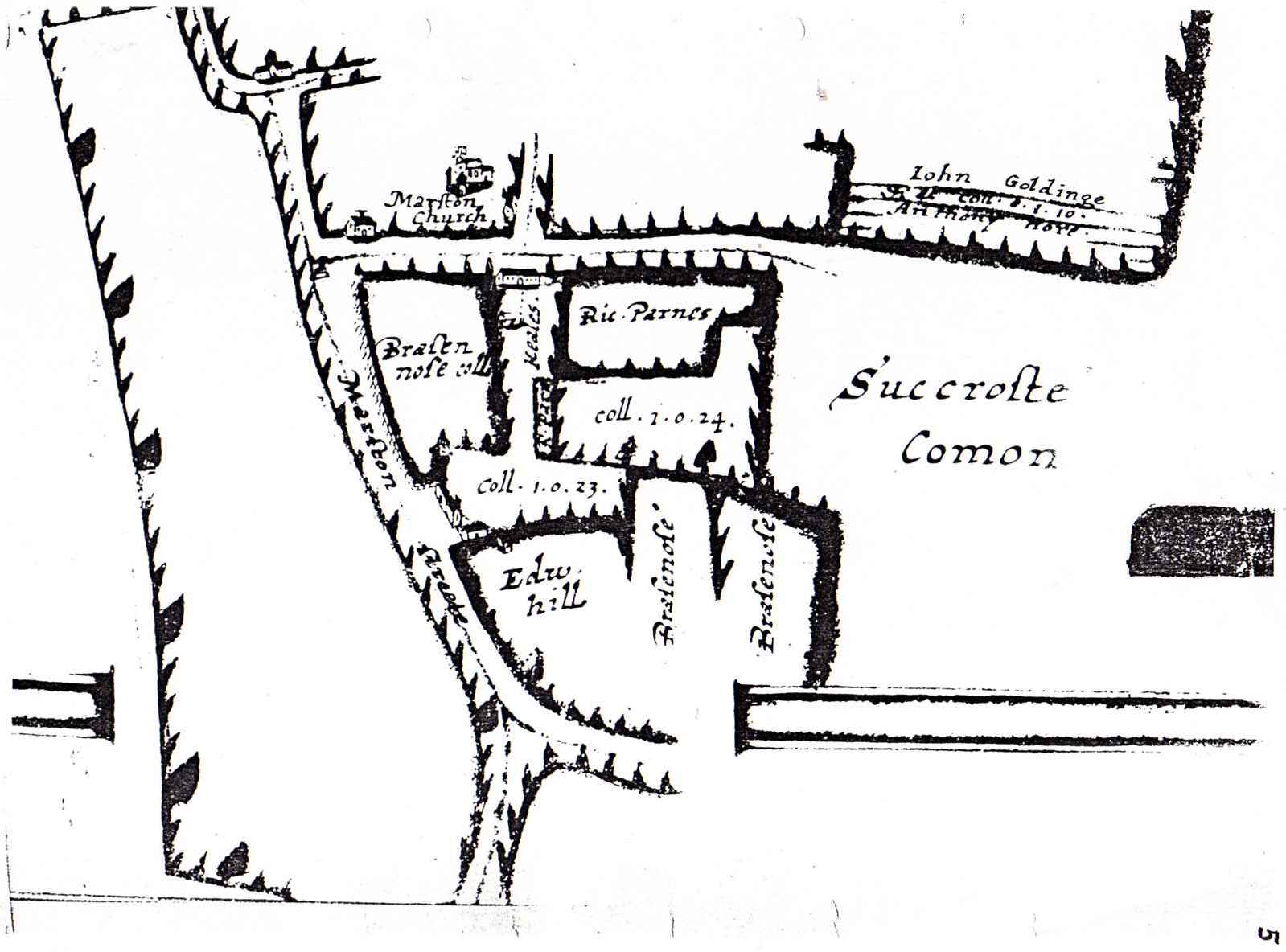
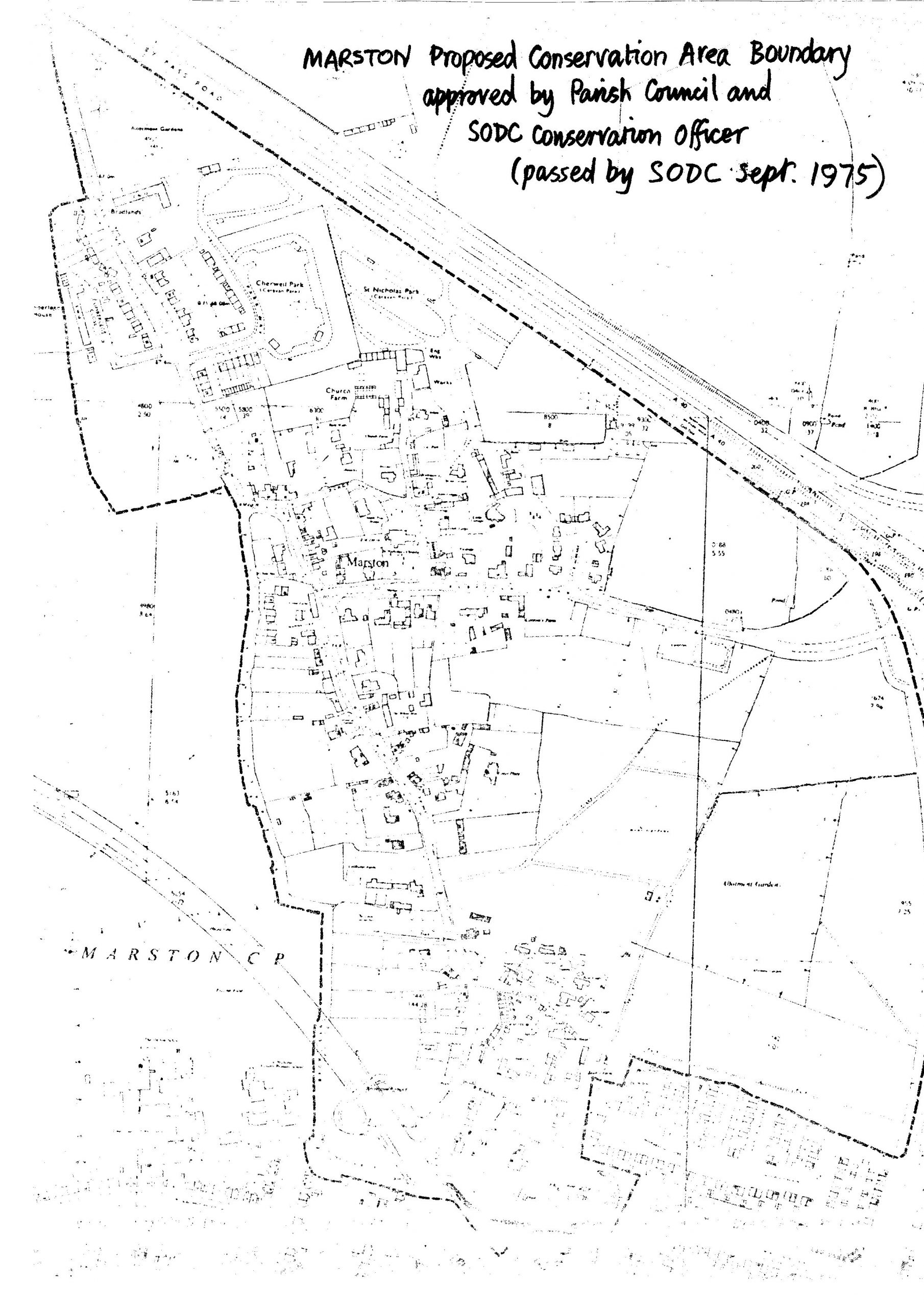
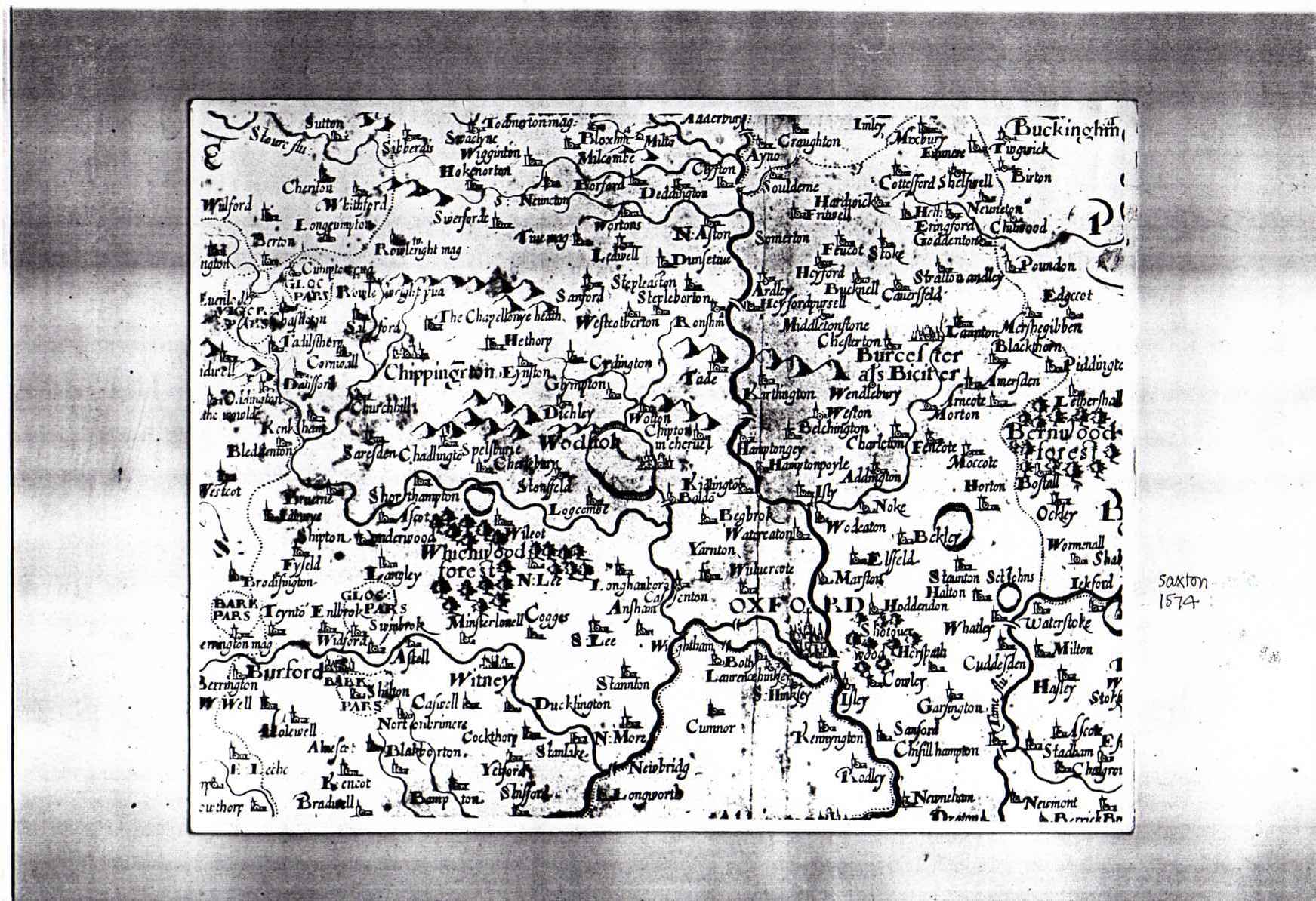
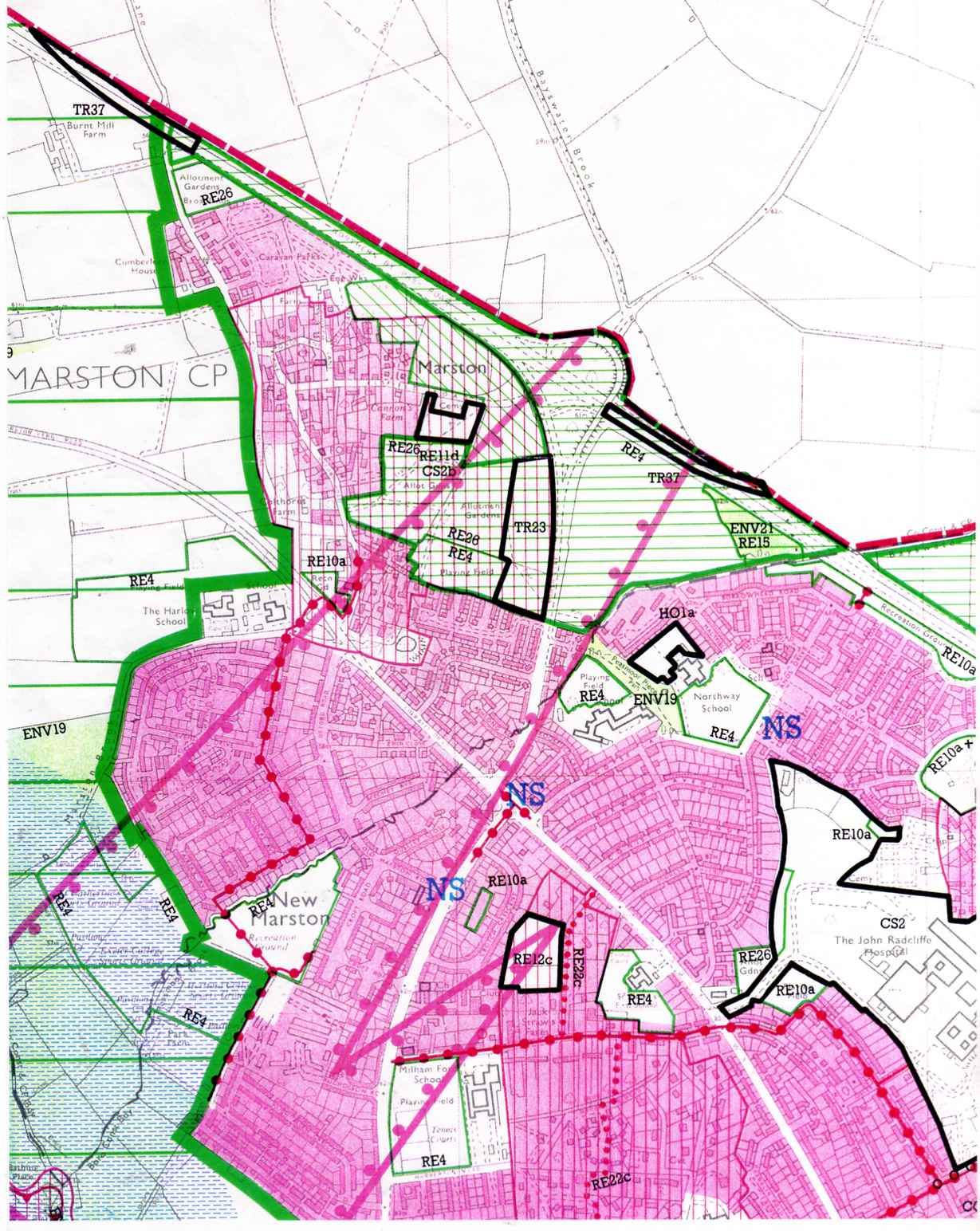
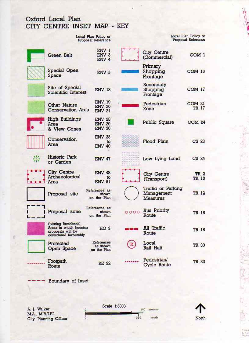
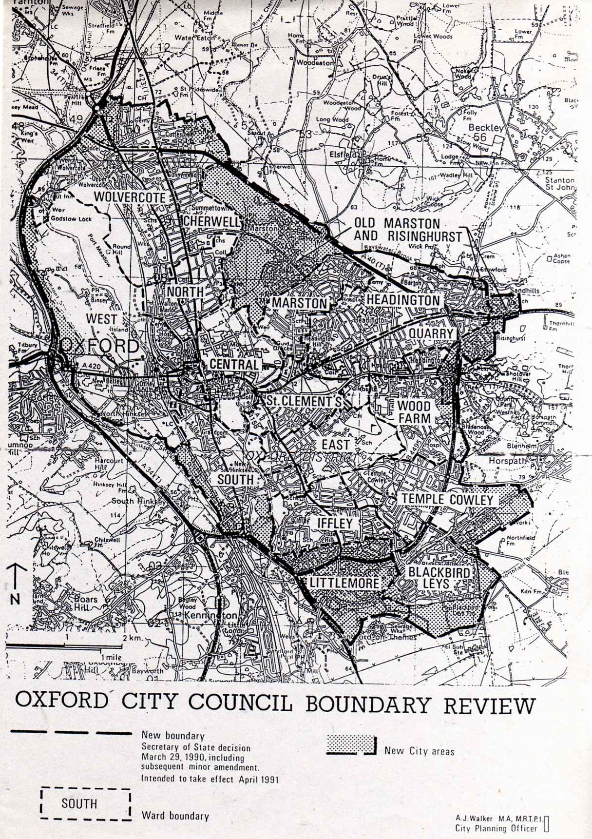
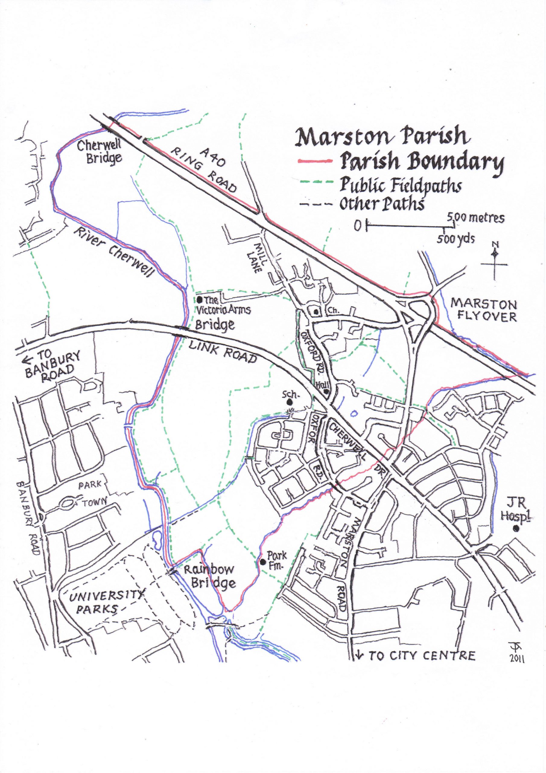
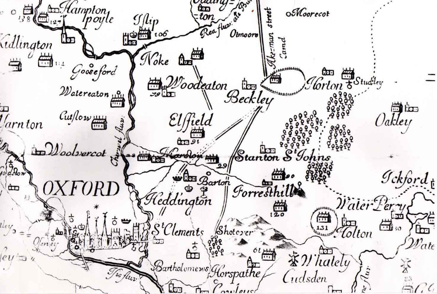
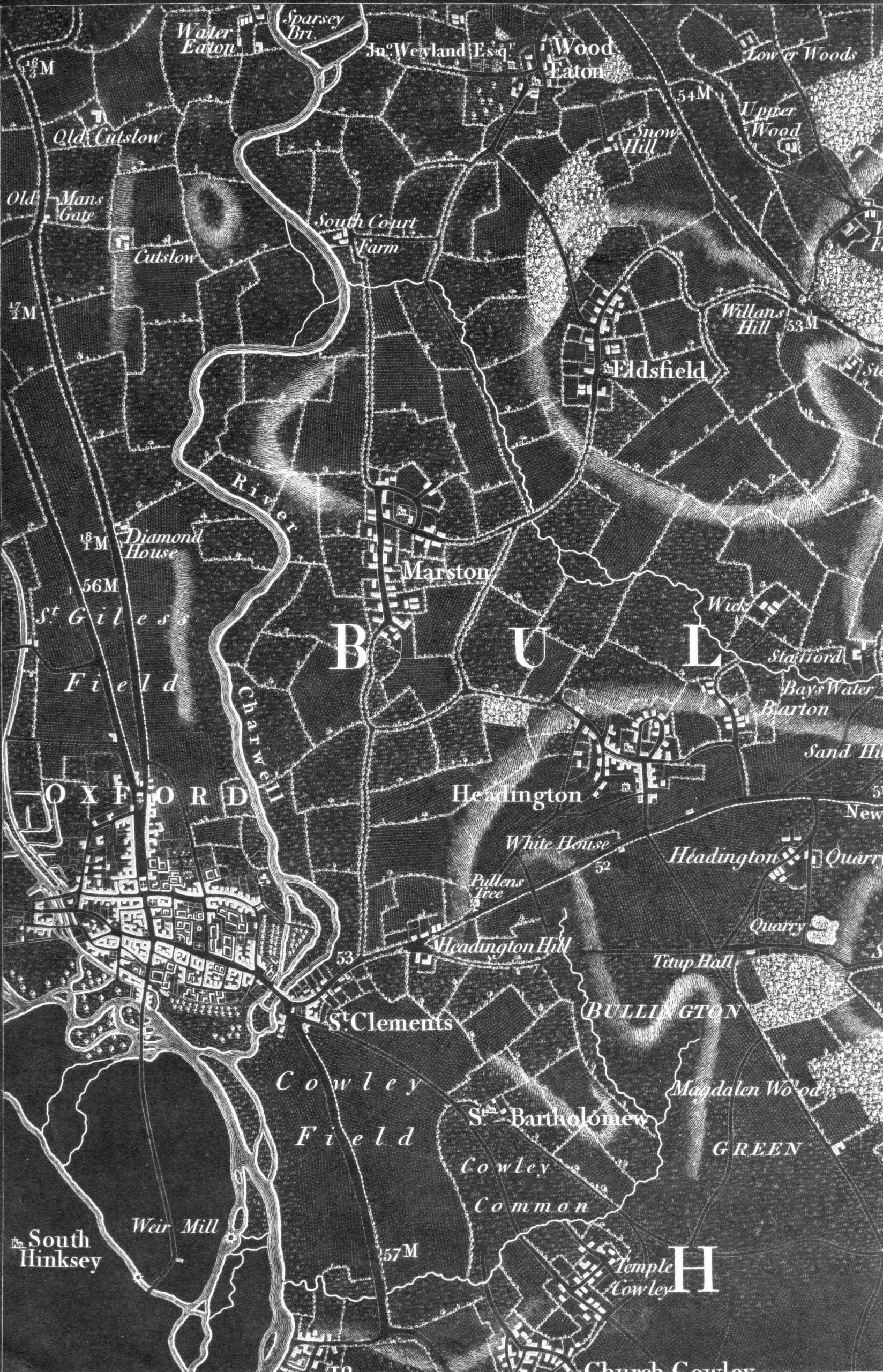
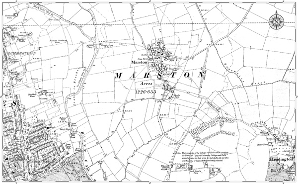
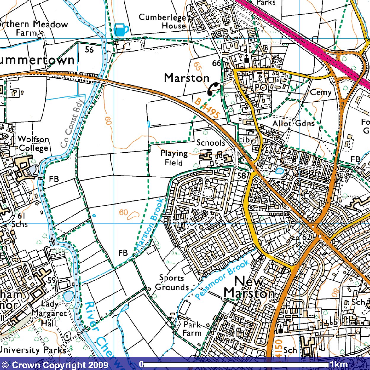
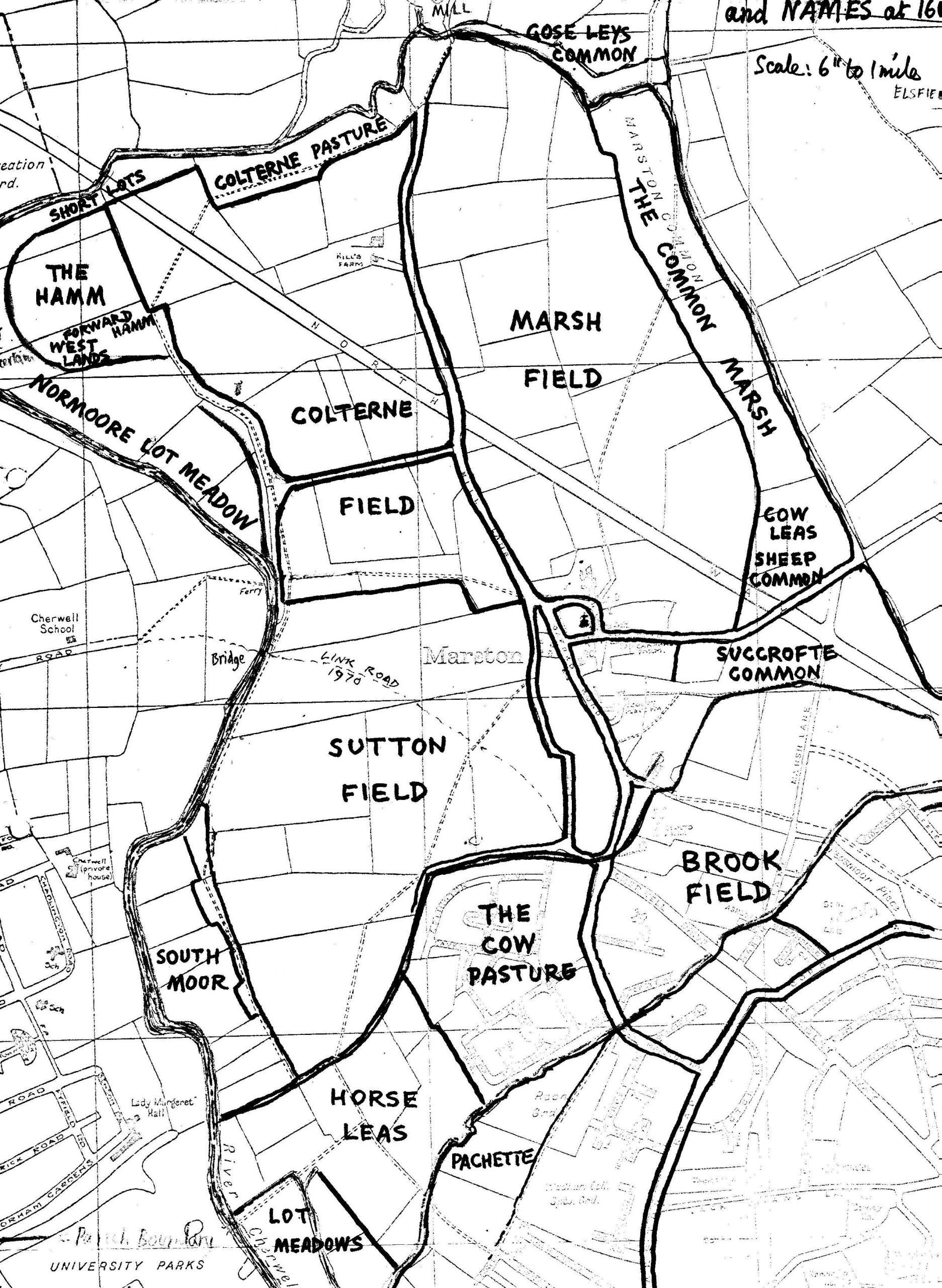
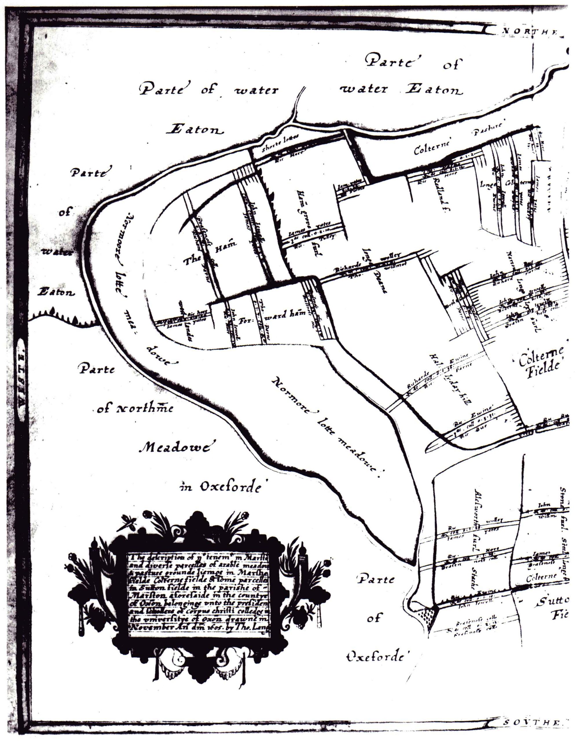
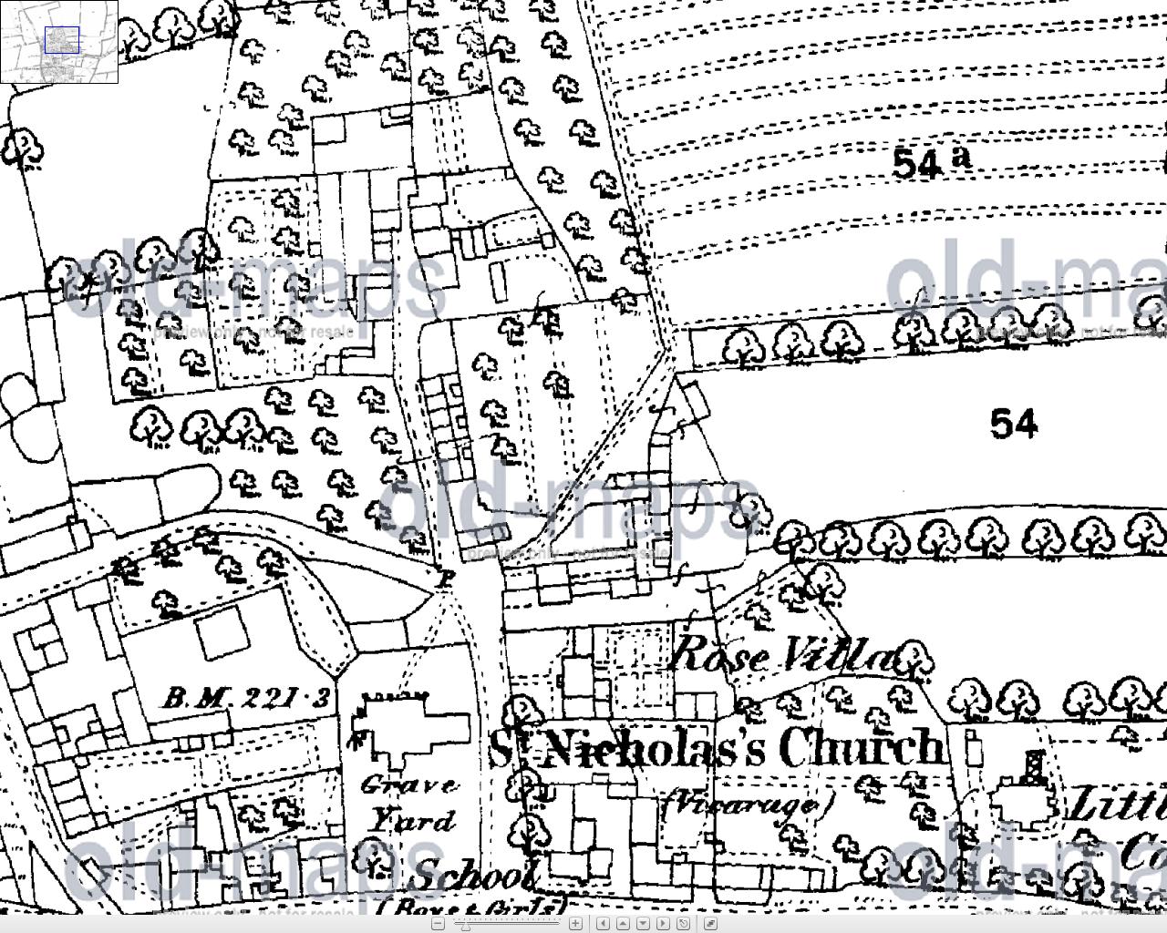
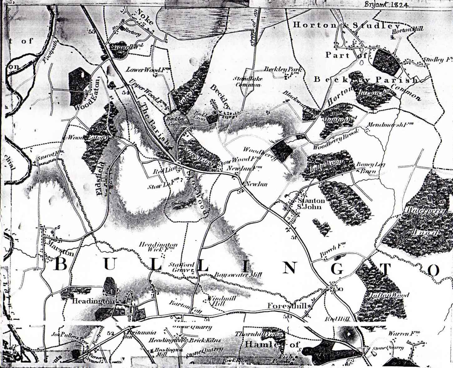
Bullingdon_District_1769_Jefferies
Old Marston Parish Boundary
Tithe_Map_Old_Marston_1843_top
Tithe_Map_Old_Marston_1843_bottom
Thomas_Langdon_1605_Map_Descriptions
The_Older_Maps_of_Marston_ATJ_010801
Succroft_Common
Proposed_Conservation_Area_Boundary_approved_by_Parish_Council_and_SODC_Conservation_Officer
Oxfordshire_1574_Saxton
Oxford_Local_Plan_Marston
Oxford_Local_Plan_Map_Key
Oxford_City_Council_Boundary_Review_290390
Old_Marston_Parish_Public_Rights_of_Way
Old_Marston_Parish
Old_Field_System_Old_Marston_1605
Old Marston 1961
Medieval_Map_Oxford_Marston_and_Headiington
Marston_and_Oxford_Date_Unknown
Early Marston
gam_print_ordsvywat-sun-1752111564448
Field_Names_1601
Field_Map_Marston_1605_p1
Butts_Lane_map
Bullington_1824_Bryant
Old Marston Conservation Area 1989
Map Documents
  • Digimap of Rippington Drive
  • Footpath Diversions 1960 to 1991
  • Marston Footpaths 1939
  • Old Marston Civil Parish
  • Oxford Preservation Trust Land in Marston 2008
  • Oxford City Council Boundary Review 1990
  • Potential Development Sites in Oxford
  • Public Rights of Way 1999
  • Public Rights of Way 2006
  • Public Rights of Way in Oxford 2003
  • Rights of Way in Old Marston
History A to Z
  • 1500s
  • 1600s
  • 1700s
  • 1800s
  • 1900s
  • Archive Documents
  • Church
  • Early History
  • Geography
  • Maps
  • Medieval Marston
  • School
  • Street Names
  • Timeline
  • Facebook
  • Twitter
© Old Marston Parish Council